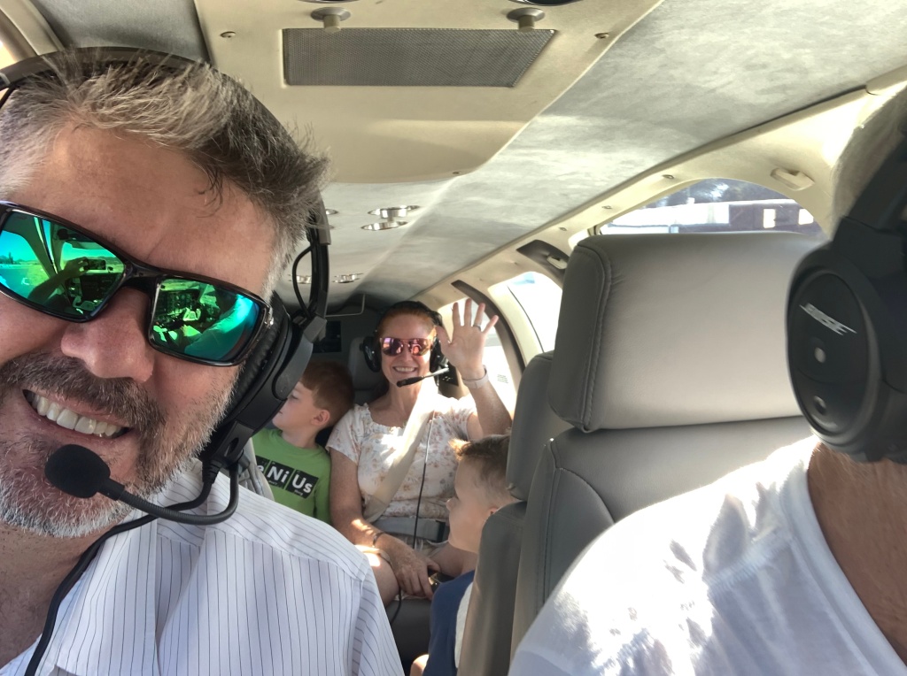
I married in to a family of pilots. One of the perks of this is that once in while they’ll humor me and fly me around so that I can see Southern California from the air; more specifically, I can see the amazing faults and stunning geomorphology of Southern California.
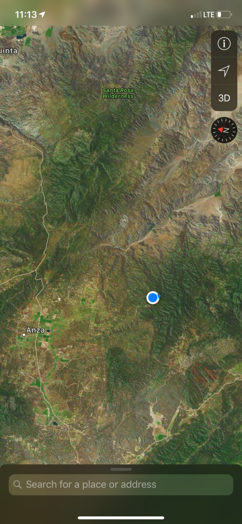
Yesterday we flew along the Elsinore and San Jacinto Fault zones. These faults are some of the many faults (including the San Andreas) that are helping to accommodate motion between the Pacific and North American Plates.
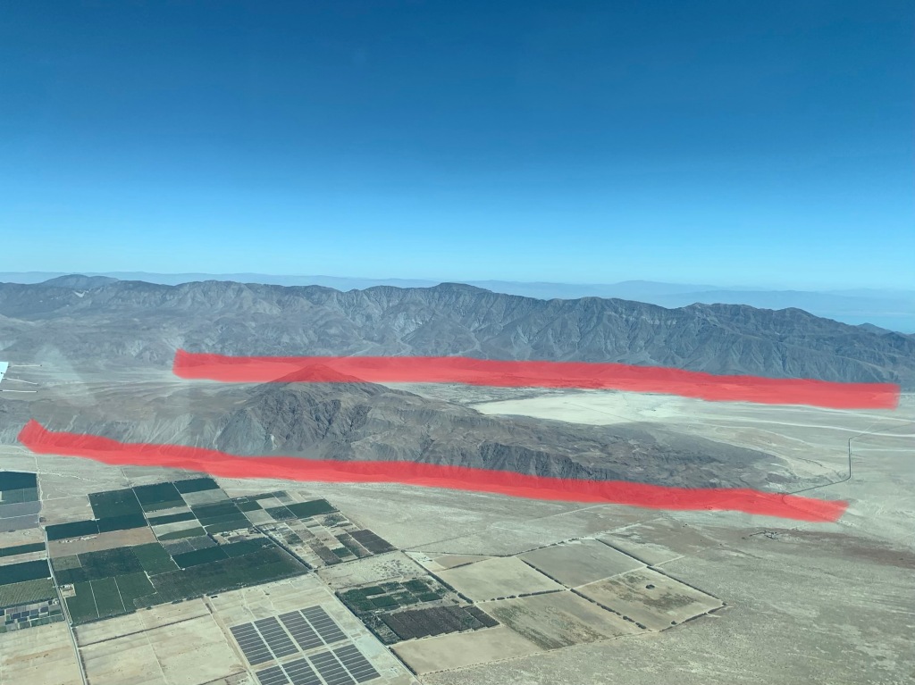
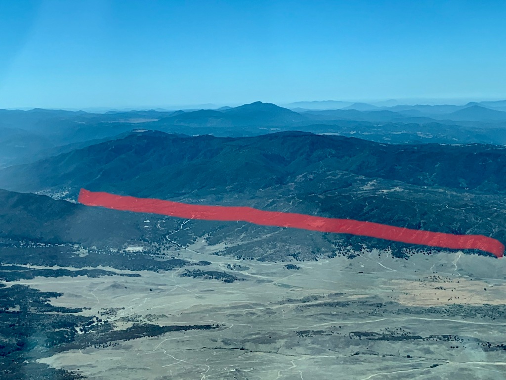
I’ve roughly annotated the photos below (on my phone, while in the air) so that the fault location is more obvious for those who aren’t used to seeing such features in the landscape. It’s important to keep in mind that faults are rarely just one simple strand; they are fault zones. Fault zones are broad zones of deformation with many fault strands and areas of crushed and deformed rocks – some fault zones can be km wide. So my annotations are gross oversimplifications that are showing the rough location of the most prominent strand that I could identify from the air.
One more quick note – geologists locate faults by looking for particular things in the landscape. The faults I looked at were right lateral strike-slip faults, which means that one side of the fault is sliding horizontally past the other so that everything on the other side of the fault looks as if it moved to the right. The landscape features (or geomorphology) that I was looking for were offset streams, changes in the slope of the land, offset ridges, lines of vegetation (water moves easily through the broken rocks of the fault so trees often grow along faults) and other changes in the shape of the land that are associated with faulting. When you see many of these types of features and draw a line between them we call that the fault trace, or the place where the fault intersects the surface of the earth. Not all faults make it to the surface – these are called blind faults. The Northridge earthquake occurred on a blind thrust fault.
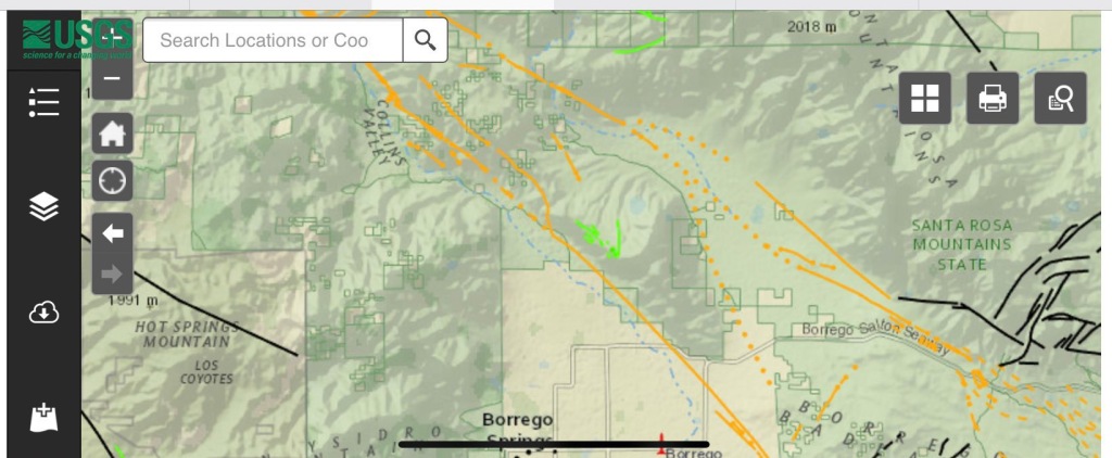
All of the maps are from the USGS Quaternary Fault and Fold Database. The lines are the faults; the different colors indicate the last known activity on that fault (more info available on the USGS website linked above). Solid lines means geologists are very confident that the fault is in that location, whereas dotted lines are places where they have inferred that the fault is likely to be.
The Elsinore Fault


A sag pond is a common feature found along strike-slip faults. When there are two strands of a strike-slip fault that are parallel to each other they will sometimes pull apart a little bit, forming a depression that fills with water – this is the sag pond. In other areas parallel (or sub-parallel) strands may squeeze together a bit, and this forms a pressure ridge (sometimes called a shutter ridge). A famous pressure ridge is Dragon’s Back along the San Andreas Fault.


The San Jacinto fault


When you talk about earthquakes and faults in Southern California you hear a lot about the famous San Andreas, but all of these faults (and many many more) are capable of producing damaging earthquakes. To learn more about how to prepare for earthquakes visit these great sites – Shakeout, Putting Down Roots in Earthquake Country, and Ready.
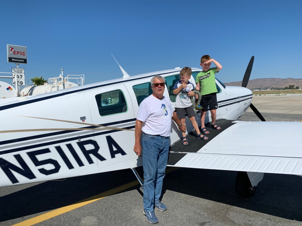
Thanks again to Fred and Scott for flying us around and giving me the opportunity to see these amazing features from the air! And thanks for reading!


Lifelong S.D. County resident. This was fascinating. It will never be the same driving through these areas again.
LikeLiked by 1 person
Great stuff, great opportunity. Thank you for sharing.
LikeLiked by 1 person
How about the faults that form Signal Hill? Also the fault that runs under the parking structure of Community Hospital in Long Beach.
LikeLike
Yes, the Newport-Inglewood fault lies below both of those locations (https://scedc.caltech.edu/significant/newport.html). We only had time to fly a small area of Socal and those locations are much farther to the north. You can find fault maps showing the location of various faults in Southern California (and beyond) here https://scedc.caltech.edu/significant/ and here https://local.scedc.caltech.edu/significant/losangeles.html
LikeLike
This was so informative. Thank you
LikeLike
Thank you so much for this fascinating tutorial!
As a second gen native Californian, I grew up with a mother who taught us that earthquakes were part of living in our state. She was born & raised in Brawley & work on my grandparents’ ranch wasn’t interrupted just because of a little shaking. This was in the early 1900’s.
LikeLike
She was a very wise woman!!
LikeLike
This was great to read. I spent most of my childhood exploring this area. Thanks to you, I now have another layer of understanding.
LikeLike
Glad it was useful!
LikeLike
Thank you so much for sharing your knowledge. I’ve always been fascinated with the extent of the minor faults beneath our feet here in California and elsewhere. I fly search and rescue missions over most of San Luis Obispo County and am constantly in awe of its diverse, beautiful, geologic landscape and the forces at work forming these structures.
LikeLike
Fascinating! Thank you.
LikeLike
Lightbulb moment on pressure ridges! Please do more fly-overs. Thank you!
LikeLike
Thank you. Nicely done with good photos and clear explanation. This was recently reposted to Geologists Drinking Beer Facebook page; a venue you may want to consider for getting your message out.
LikeLike
I was a State Park Ranger at Anza Borrego Desert State Park 1975-1977 and Lake Elsinore S.R.A during the early 1990’s. I found your photo’s concise, and clearly defined much of the areas I once patrolled.
Great work.
LikeLike
Lovely pictures and illustrations. How wonderful to learn what has been hiding in plain sight! My family and I fly the area frequently. Thanks to you we’ll have a glimpse into what we are seeing. Are you sure this Fred character knows how to fly a Bonanza?
LikeLiked by 1 person
Some days I have my doubts but some far he’s gotten us home safely! 🙂
LikeLike
Great! I enjoy geology.
I have wondered about the entire San Joaquin valley- seems to me it is one huge “sag lake”.
LikeLike